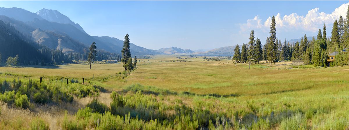
Reno, Nevada. Aug. 11, 2016. Washoe County Regional Parks and Open Space is excited to present the new Truckee Meadows Trails Guide for outdoor enthusiasts to use as they explore the natural beauty of northern Nevada. The 2016 guide features two new trails known as the Ballardini Ranch Trail system and the Sugarloaf Trail.
Washoe County and the cities of Reno and Sparks offer a plethora of opportunities from paved paths in parks to rugged wilderness trails. The outlying areas managed by the Bureau of Land Management, Nevada State Parks and the U.S. Forest Service are equally as gorgeous. Trails have been divided in five sections: the Eastern Sierra, Virginia Range/Truckee Meadows, Pah Rah/Sparks, Peavine/Northwest and the Truckee River.
Download Trails Guide
The 66-page guide features a variety of photos taken from various trails in the area, maps and a brief synopsis describing what each trail has to offer hikers.
“The number one question Washoe County Parks staff is asked is, where are the trails?” said Washoe County Natural Resource and Park Planner Cheryl Surface. “This guide is a collaborative effort to provide the community and visitors with a small, easy to use book, which will help people step up and step out to a new trail experience.”
The public can pick up the Truckee Meadows Trails Guide at local bike shops, visitor centers, Scheels and Cabela’s as well as Washoe County, City of Reno and City of Sparks-owned buildings. The guide can be viewed online or downloaded here.
Funding for the Truckee Meadows Trails Guide was generously provided by a Federal Highway Administration Recreational Trails Program and a grant from Washoe County.
# # #
Explore Washoe County’s picturesque parks using the new Truckee Meadows Trails Guide

Communications Manager
775-328-2070
bdrysdale@washoecounty.gov
